Google reverse image search shows this as the original source: https://imgur.com/map-roads-of-canada-w7lDes8
you are viewing a single comment's thread
view the rest of the comments
[–] 12 points 1 year ago (7 children)

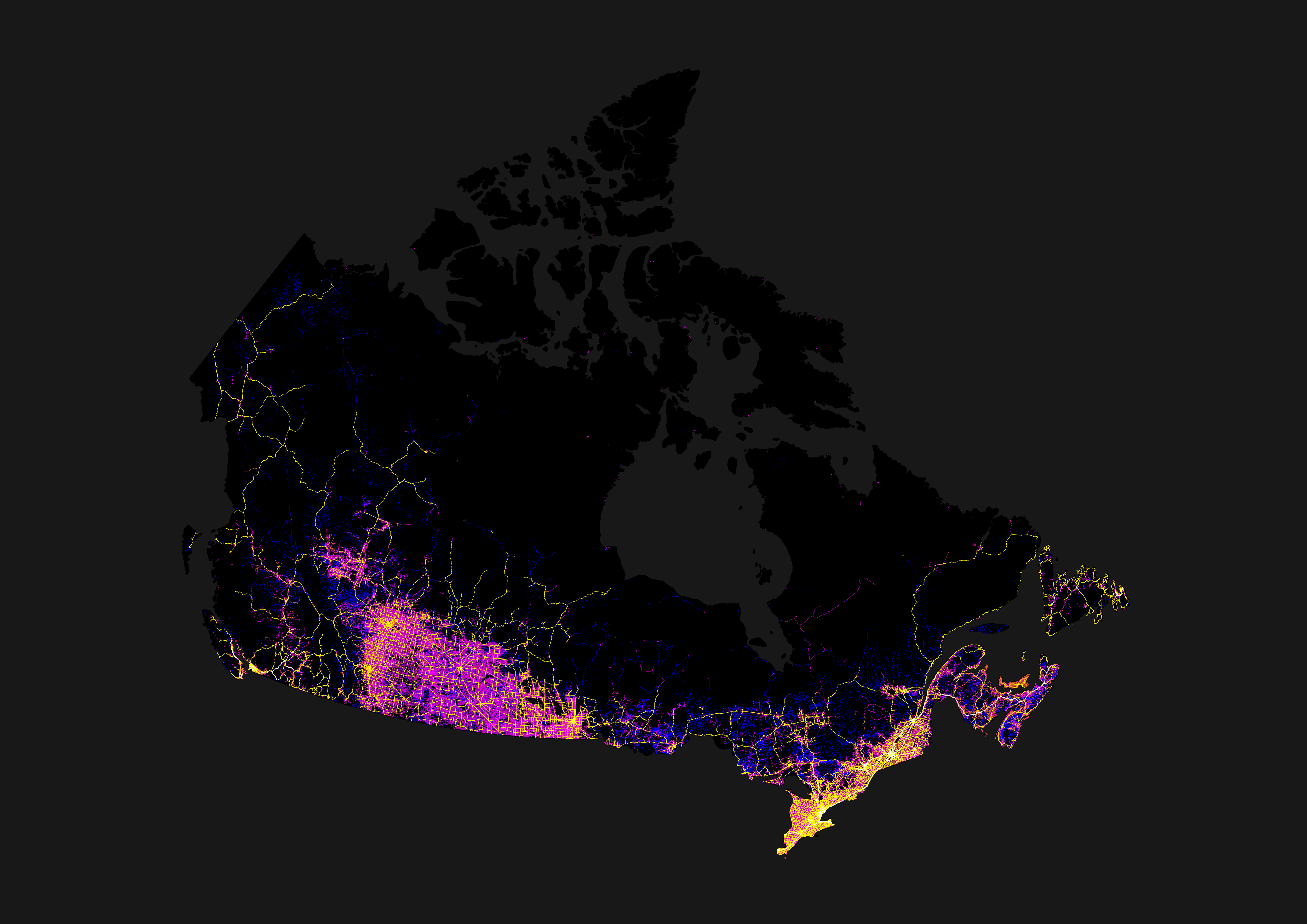
Its because farther north than that is barely inhabited. North of roughly the orillia line, geography and community size changes dramatically compared to what is south of orillia. Its a good seperatation for political purposes as the needs and cultures in these smaller communities are different from the southern communities.

  • source
  • parent
  • hideshow 7 child comments
  • [–] 3 points 1 year ago (3 children)

    Northern Ontario starts at the French River, Orillia is just where the shield starts when driving from Toronto. Its an important geographic change but Kingston is practically in the shield too and I would hardly call that Northern Ontario

  • source
  • parent
  • hideshow 3 child comments
  • [–] 2 points 1 year ago (2 children)

    The actual border, per government definition, is the southern edge of the Parry Sound district. Which is north of Orillia.

  • source
  • parent
  • hideshow 2 child comments
  • [–] 2 points 1 year ago (1 child)

    While technically true, that delineation has proven to be a political one. The previous liberal government redefined that district as southern Ontario, a move which was eventually reversed by the current PCs in part to afford the benefits of being a part of "Northern Ontario" to a PC stronghold that has been strongly contested by the greens in the past few elections. IMO theres more to it than just how the government defines it.

  • source
  • parent
  • hideshow 1 child comment
  • [–] 2 points 1 year ago

    On the one hand, the government (specifically the MTO, the only ministry that cared at the time) has been using the "southern border of Parry Sound district" definition for at least 35 years. It was on the forms when I applied for my first driver's license, if I recall correctly.

    On the other hand, I don't claim that "Parry Sound district" necessarily covers the same geographical location now that it did back then.

    On the third hand, if I were drawing an "I think this is northern Ontario" line, it would be at about the latitude of North Bay, but that's just my opinion and has no authority. At least the government definition is official.

    On the fourth hand, I think I've visited the actual town of Parry Sound for all of one hour thirty-odd years ago, so I can't speak to its demographics or culture. We've almost never had any reason to detour that far from the straight shot down to Toronto along Hwy. 11.

  • source
  • parent
  • [–] 2 points 1 year ago* (last edited 1 year ago) (1 child)

    Its a good seperatation for political purposes

    Until the mid '90s, the map on the wall in the public area at Queens Park was cropped off just west of Sudbury.

    Something my friends in Thunder Bay found indicitave of the level of attention and support they got from the provincial government

  • source
  • parent
  • hideshow 1 child comment
  • [–] 1 point 1 year ago

    It would honestly be reasonable for northern and southern Ontario to decide on a line and be managed seperately, if not become their own provinces. The gta takes too much of the provincial focus sometimes. Just look at ford's temper tantrum over torontos bike lanes, the province as a whole has much bigger issues he should be addressing.

  • source
  • parent