Google reverse image search shows this as the original source: https://imgur.com/map-roads-of-canada-w7lDes8
Google reverse image search shows this as the original source: https://imgur.com/map-roads-of-canada-w7lDes8
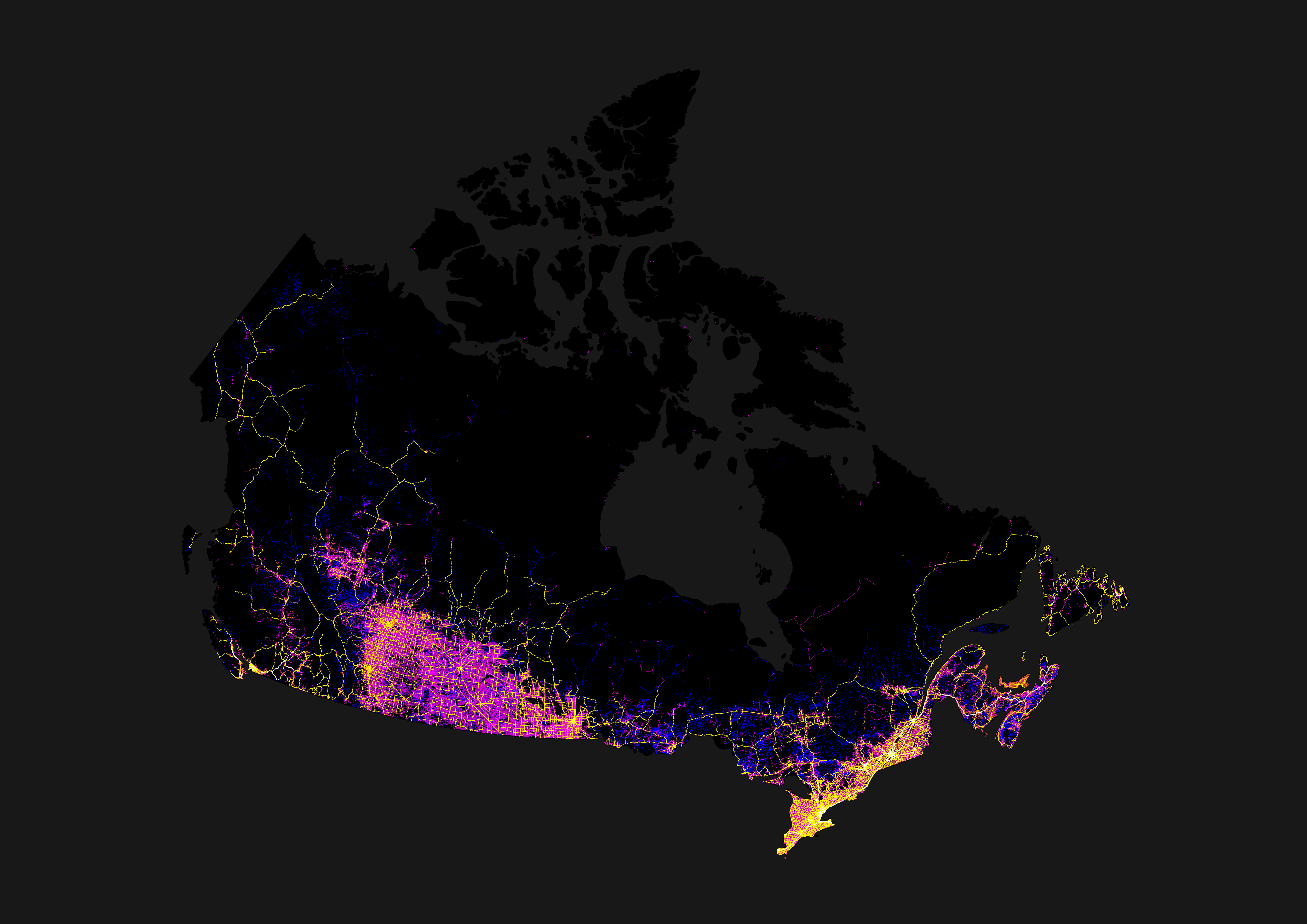
If you look at Alberta and Manitoba, they also have the grid roads, but just looks more connected with a grid of highways following N/S or E/W. Saskatchewan's highway system reminds me of nerve cells reaching out with all the angled highways spreading out from the cities.