Google reverse image search shows this as the original source: https://imgur.com/map-roads-of-canada-w7lDes8
Google reverse image search shows this as the original source: https://imgur.com/map-roads-of-canada-w7lDes8
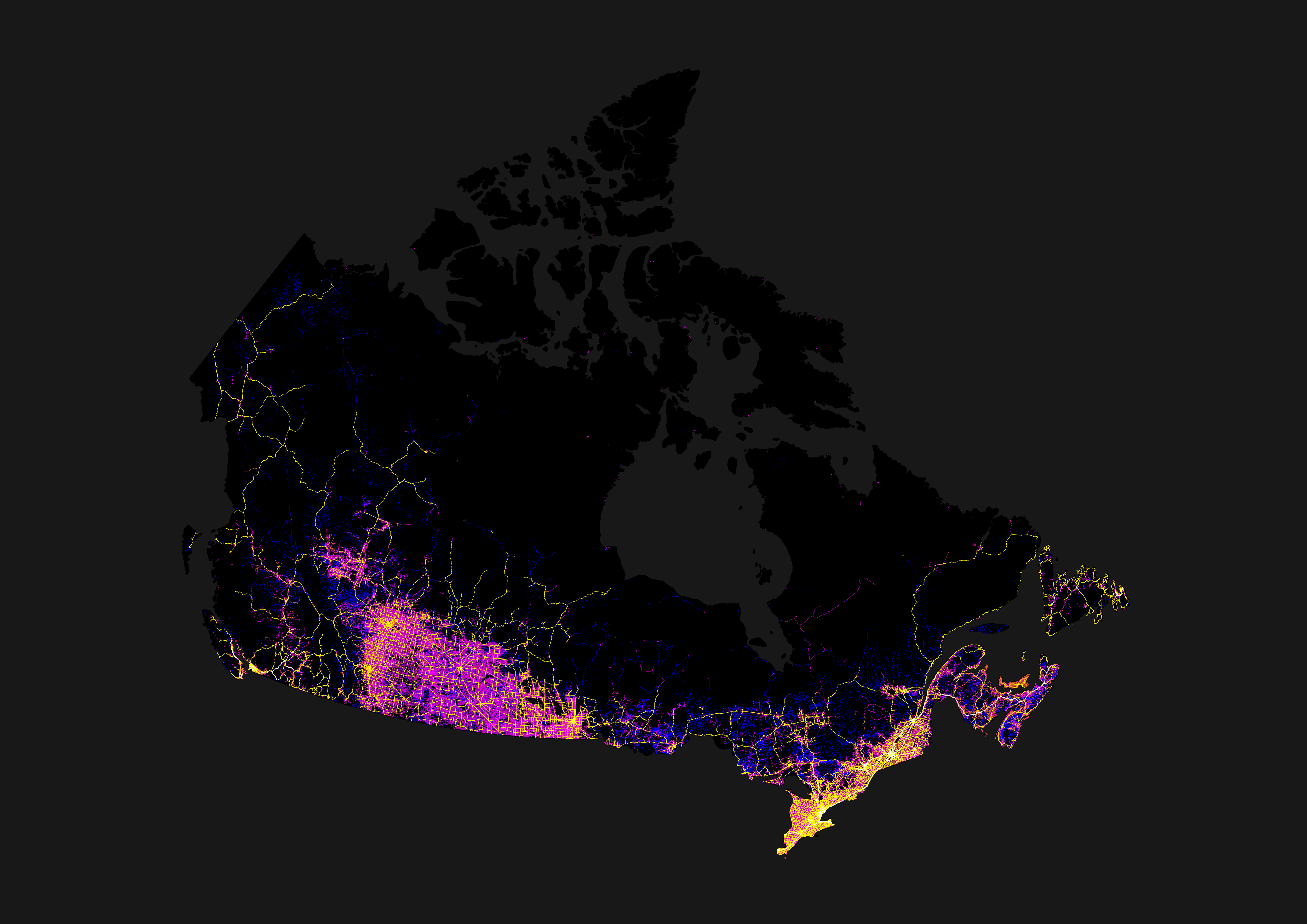
Some of it's actually rail and not roads—I'm pretty sure that one line running up to the bottom of James Bay is actually the Polar Bear Express' tracks for at least part of its length. Some may also be clearance for seasonal (ice) roads, or high-tension power lines. And yeah, some of it's probably logging.