you are viewing a single comment's thread
view the rest of the comments
[โ€“] 38 points 6 months ago (10 children)

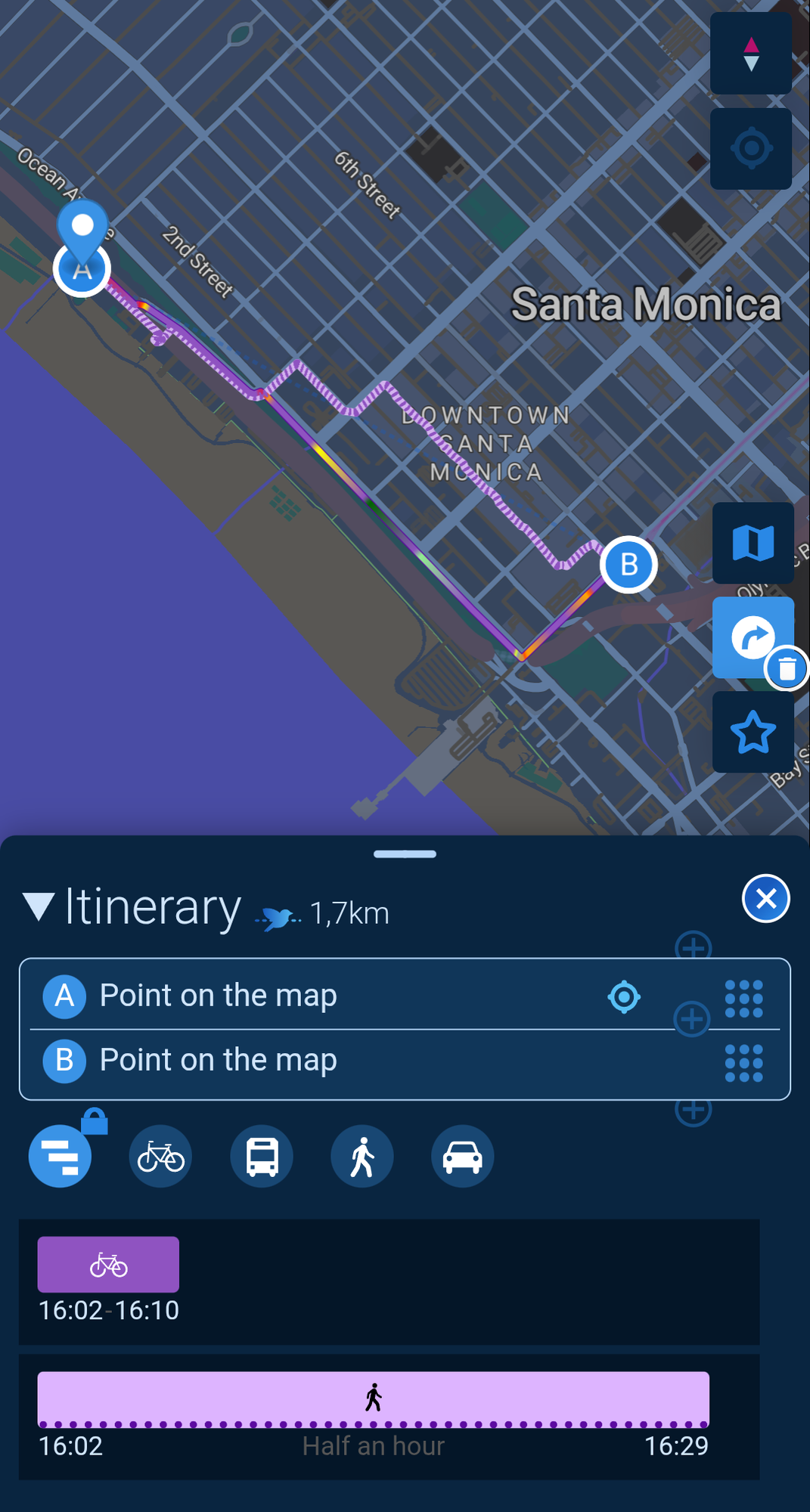
Time to check out Cartes.app! https://cartes.app/?clic=34.02076%7C-118.50899

It uses OSM and has some very useful routing options for foot/bike/public transportation.
  • source
  • hideshow 10 child comments
  • [โ€“] 4 points 6 months ago (2 children)

    I can't tell from their site -- are they using a service like GraphHopper or Valhalla for routing, or have they rolled their own? If they're doing a limited amount of public transport routing, fuel efficiency calculations, etc, I guess it's the latter?

  • source
  • parent
  • hideshow 2 child comments
  • [โ€“] 5 points 6 months ago (1 child)

    The project is open source: https://codeberg.org/cartes

    They combine a bunch of different services and list them all out here (unless you speak french, you'll want to translate the page): https://cartes.app/verso

    Looks like they're using Valhalla for routing as well as MOTIS/Transitious, Node-GTFS, GRAZE, and Transport.data.

  • source
  • parent
  • hideshow 1 child comment
  • [โ€“] 3 points 6 months ago

    Should be noted that OpenStreetMap relies on volunteers to map their surroundings. So it can be quite inaccurate, depending on where you are

    But that also tells you to help out and get mapping! It's surprisingly fun. And with apps like StreetComplete you can help out supplementing existing data in a very easy way

  • source
  • parent
  • [โ€“] 2 points 6 months ago (2 children)

    That app told me to leave the main road and go on a dirt road

  • source
  • parent
  • hideshow 2 child comments
  • That looks like you have it set for cycling. It defaults to a "Safe" mode which would likely take you on alternate paths that are less travelled by cars. At the bottom you can change the route option to "Road" or "Balanced". If it still wants you to take a dirt road after selecting "Road", then it's a problem with OpenStreetMap.

    You can fix those issues by going to openstreetmap.org then zoom in on the area and edit the map. Make sure that the main road exists all the way through and that the dirt road is tagged with highway=track.

  • source
  • parent