1


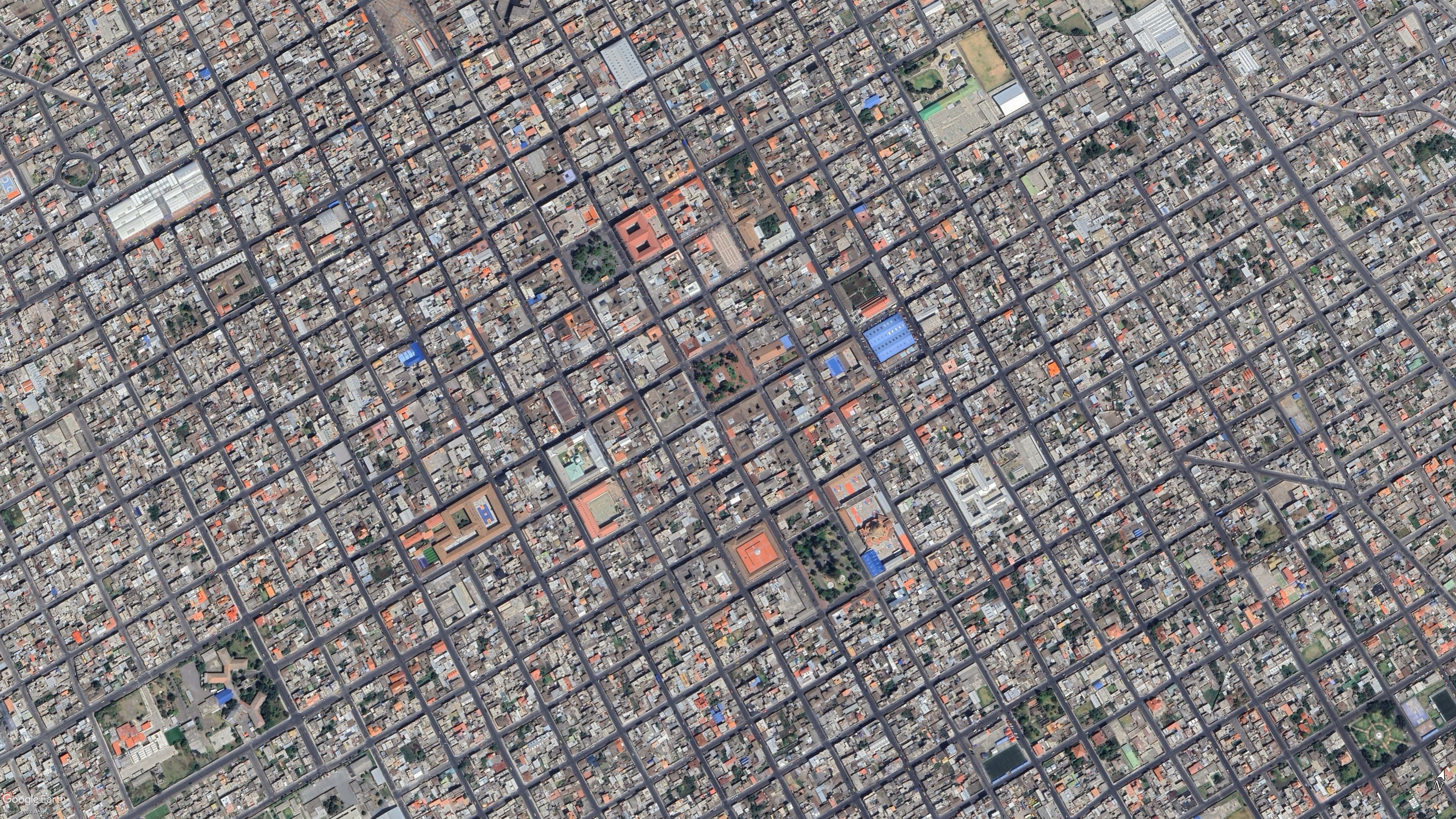
A photo by copenhagenbycosedis Their description on FB:

Seen from above, Dybbølsgade reveals one of the more intriguing details in the urban structure of Vesterbro. While many surrounding streets follow a relatively regular pattern of parallel lines and rectangular blocks, Dybbølsgade cuts diagonally through the neighbourhood, creating angled intersections and unusually shaped corners.
The street belongs to the enormous expansion of Vesterbro during the second half of the 19th century. As Copenhagen grew beyond its old fortifications, industrialisation attracted thousands of new residents, and large areas outside the historic city were rapidly developed with dense residential blocks.
Much of the architecture around Dybbølsgade reflects this period. The area contains many examples of the historicist residential architecture that characterised Copenhagen’s expansion from the 1870s onwards. Brickwork, stucco, cornices and carefully arranged windows brought variation to otherwise densely constructed streets and blocks.
The name Dybbølsgade also connects the neighbourhood to Danish history. Several streets on Vesterbro were named after places in Sønderjylland and Slesvig associated with the conflicts of the 19th century. Dybbølsgade refers to Dybbøl, the site of the decisive battle in 1864. Nearby names such as Istedgade, Haderslevgade and Sundevedsgade belong to the same geographical and historical tradition.
Vesterbro changed considerably during the 20th century, including major urban renewal and demolition, while much of its original street structure survived.
From street level, Dybbølsgade appears as one of many characteristic residential streets of Vesterbro. From above, however, its geometry becomes its defining feature. The diagonal street cuts through the surrounding grid, revealing how this part of Copenhagen developed through different streets, blocks and phases of urban expansion


Although i am not happy to link to FB here is a link to their profile
https://www.facebook.com/copenhagenbycosedis

2
 
 
3


Deepwater Pump Track officially opens today (Wednesday, April 15), transforming a once-underused patch of parkland into a full-throttle playground for cyclists, scooter riders and anyone keen to get their wheels off the ground.

4
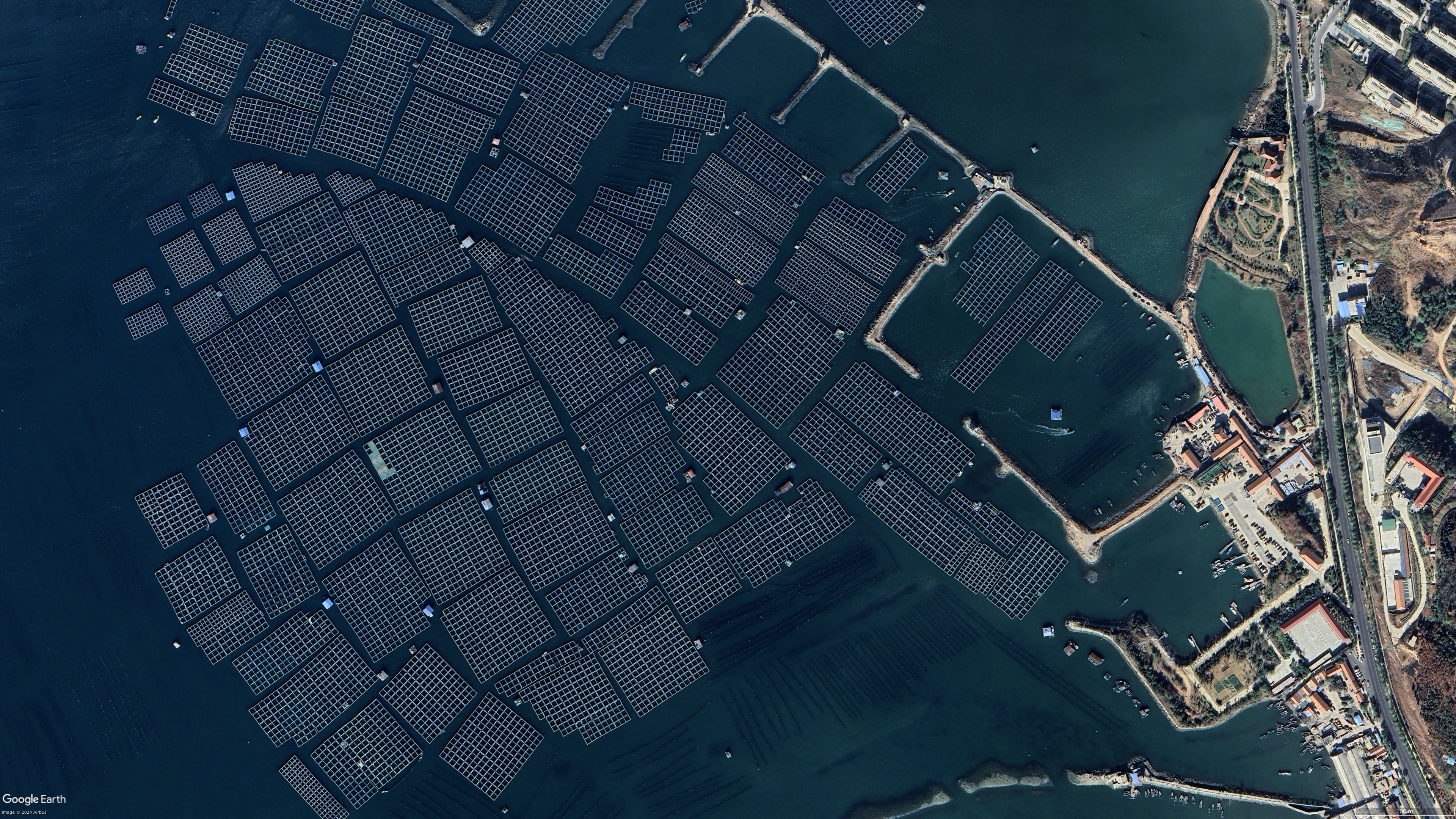
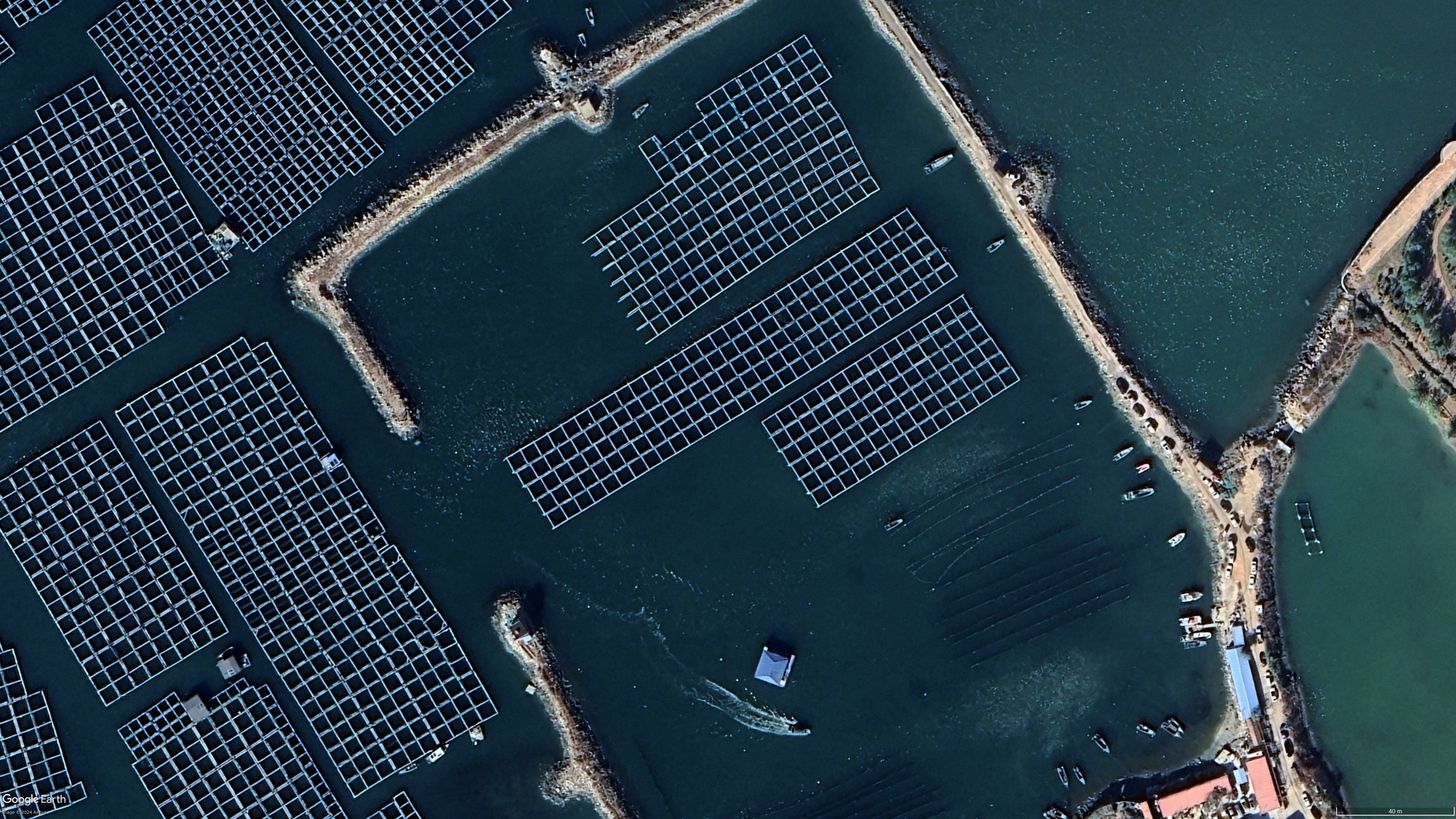
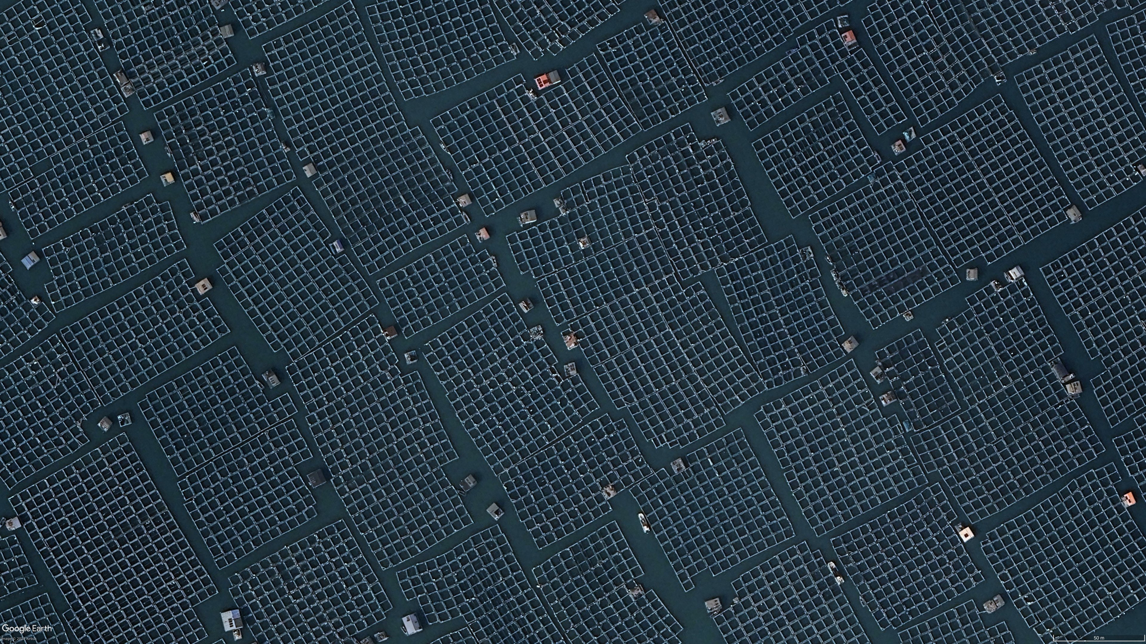
Crowded waters (lemmy.world)
submitted 8 months ago by to c/topview@lemmy.world


Sorry for one more of these, but I find it fascinating to see

5


It's hard to keep track of all the updates, this live blog does a good job.

6


cross-posted from: https://lemmy.world/post/43338229

Image credit: u/Mediocre-Disk737 on reddit

7


cross-posted from: https://lemmy.world/post/42025722

Also testing if my MP4 file loads on lemmy

8
 
 
9
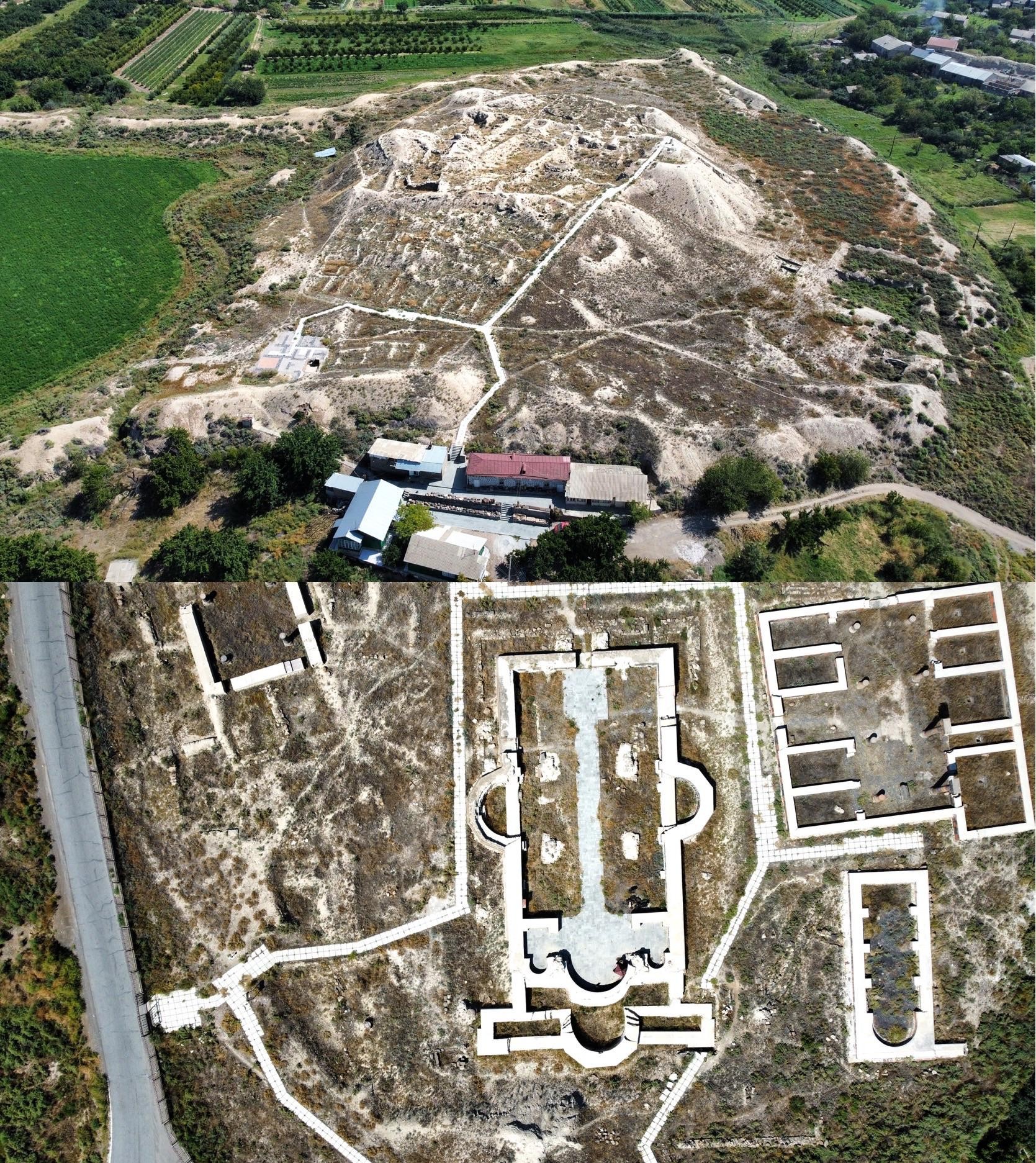
Ruins of Dvin, Armenia (media.piefed.social)
submitted 11 months ago by to c/topview@lemmy.world
 
 
10
 
 
11
 
 
12
13
submitted 2 years ago by to c/topview@lemmy.world
14


The sea, which straddles the border between Israel and Jordan, has seen its surface area shrink by about 33 percent since the 1960s. A plan to replenish the Dead Sea with seawater from the Red Sea was proposed in 2009, but abandoned in 2021.

Source imagery: Maxar

via DailyOverview tumblr

15


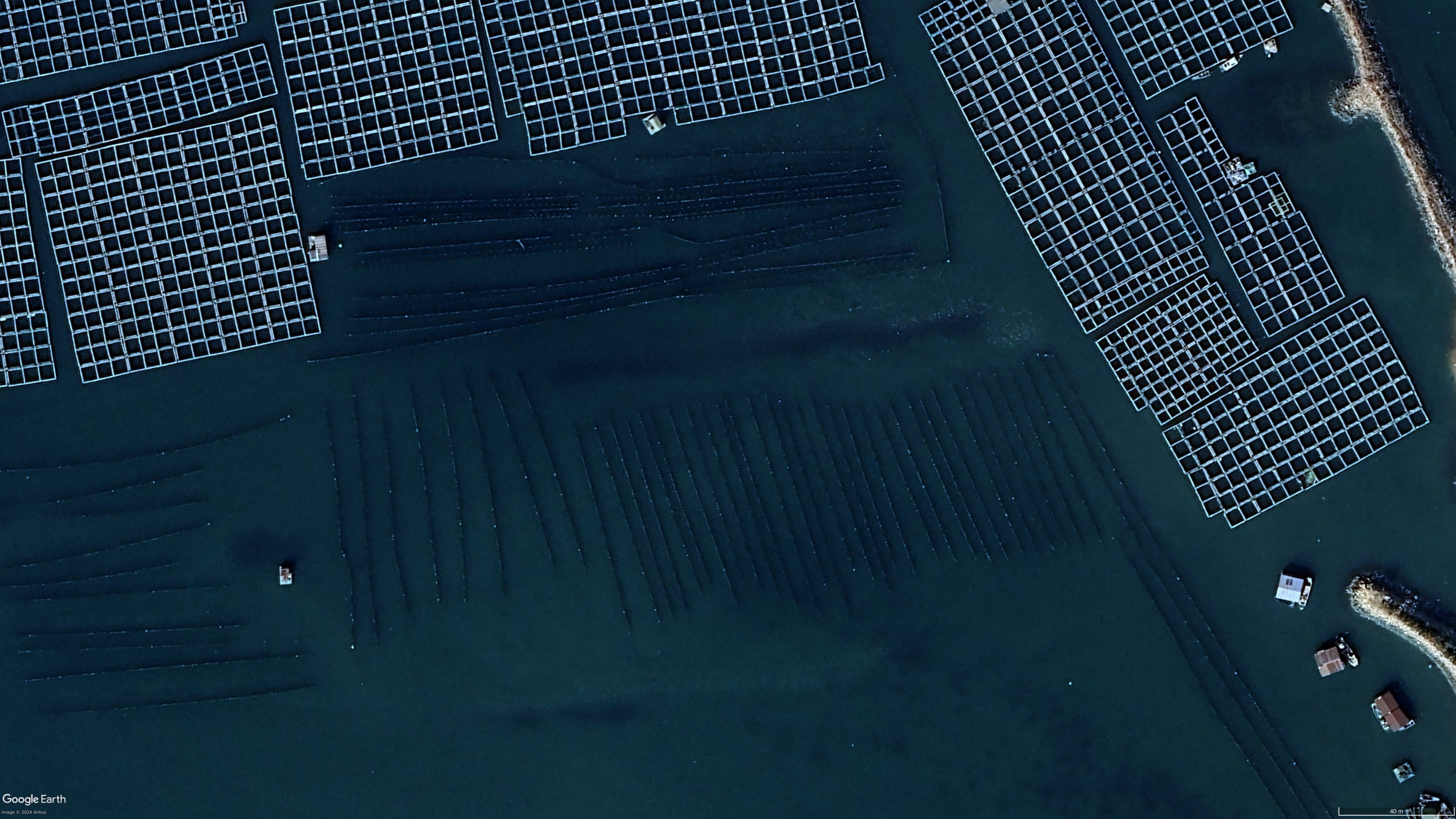
Not sure what these darker stripes are. They look like submerged timber og logs

16
submitted 2 years ago by to c/topview@lemmy.world
 
 
17


18


The Batagaika Crater, located in the Chersky Range of northeastern Siberia, Russia, is the largest permafrost crater in the world. One kilometer (0.6 miles) long, 100 meters (328 feet) deep, and growing, it has been sinking due to thawing permafrost since the 1960s. Batagaika’s rim is extremely unstable and the site of regular landslides, retreating by as much as 30 meters (98 feet) in a single year.

67.580000°, 134.771400°

Source imagery: Maxar

via DailyOverview tumblr

19
Cheetham Australia (lemmy.world)
submitted 2 years ago by to c/topview@lemmy.world
 
 
20


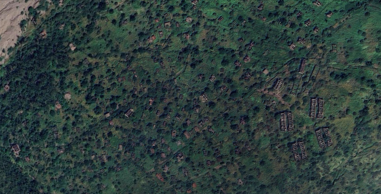
The former capital of the Caribbean island of Montserrat, a British overseas territory, has been fully abandoned since 1997 due to a series of eruptions at the Soufrière Hills volcano. More info here.

21


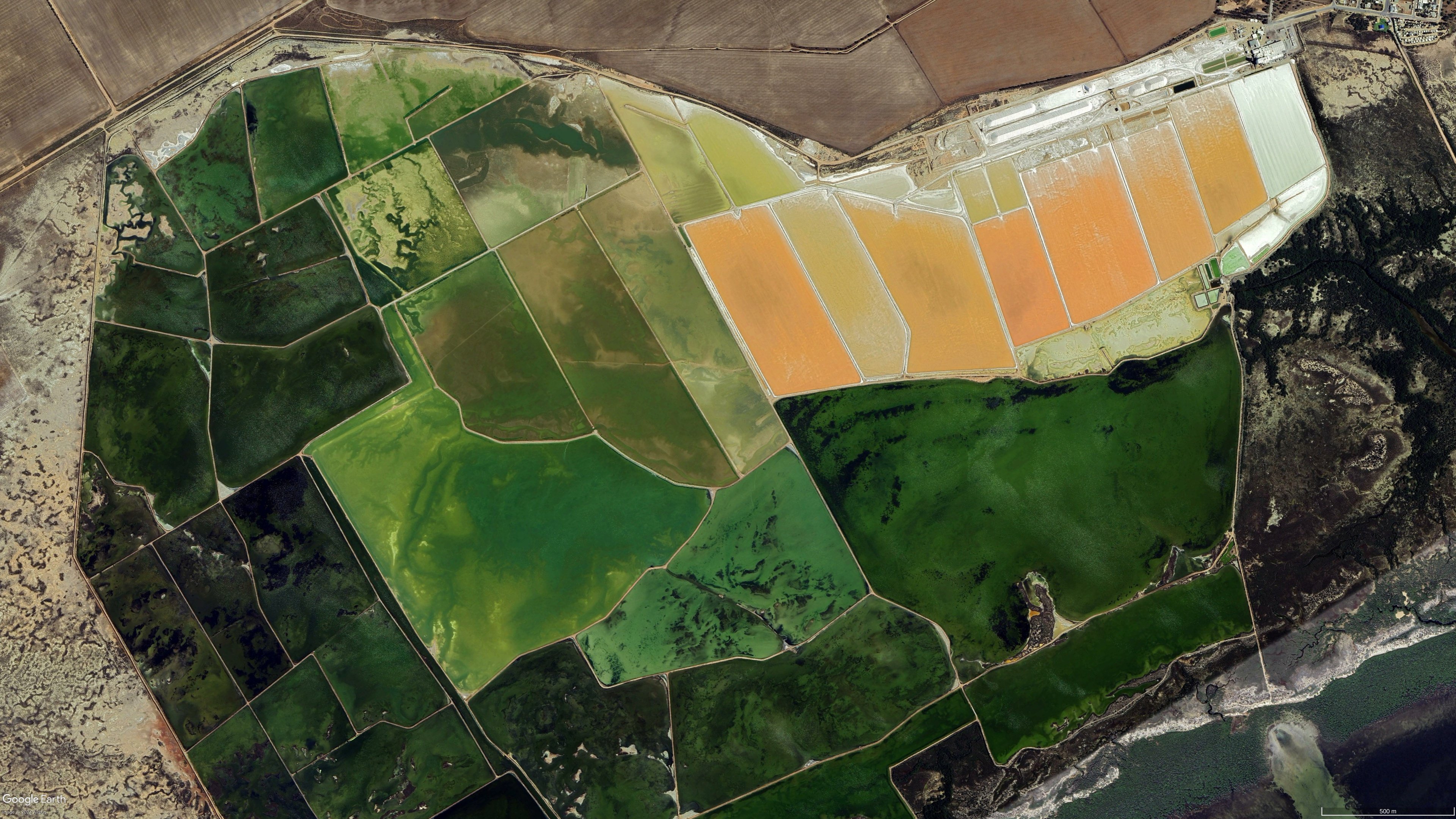
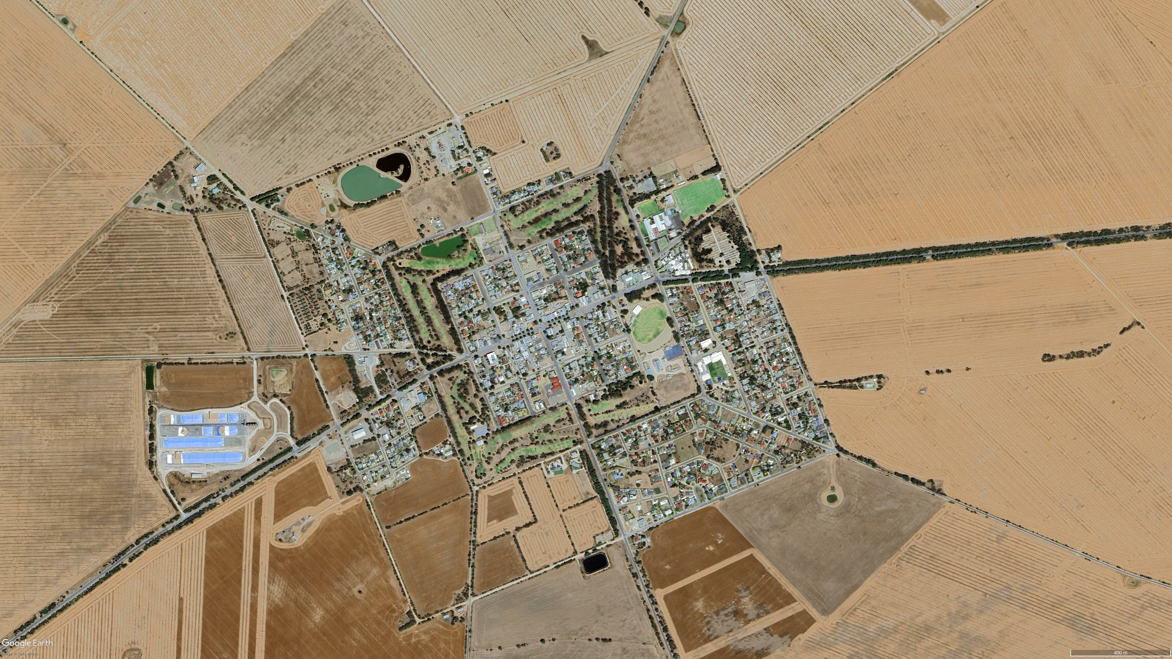
34°22'25.3"S 137°40'23.6"E

22


I was randomly browsing Google Earth and had drifted into Hungary when I noticed that many plots there, are elongated. They have a short front towards a road, where a house or structure usually is located, but then extend a pretty long way behind that!

23


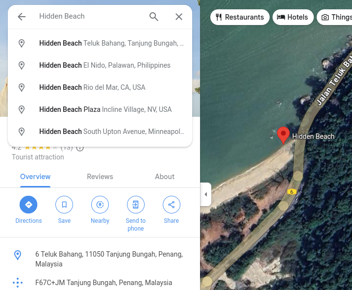
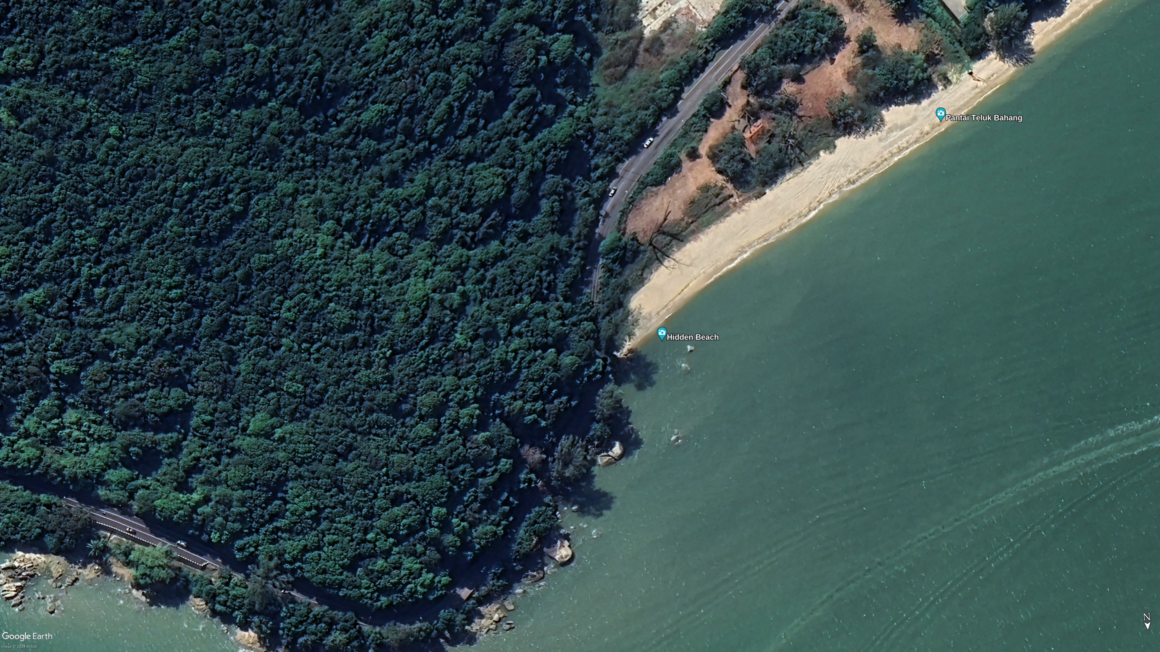
Hidden Beach is not quite so hidden - listed as a tourist attraction on google:
https://maps.app.goo.gl/2LvWzMa5iaYtYiS2A

Interestingly, google has the location of quite a lot of hidden beaches!

24
 
 
25


Summer residences close to Copenhagen in Denmark. The hedges are angled, from 180cm to 80 cm, securing privacy and optimal light access for plants close to the tip of the "slices".

All homes have access to electricity, water, sewage and water. The houses must be less than 50 square meters, and you can only live there between April 1st to October 1st. Outside this period you can only stay there on weekends.

https://www.rundtidanmark.dk/broendby-haveby-runde-haver/
https://da.wikipedia.org/wiki/Br%C3%B8ndby_Haveby

view more: next ›